
Background
John P. Snyder was born on April 28, 1997 in Olney, Maryland, United States.


(Presents biographical sketches of surveyors and cartograp...)
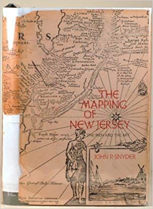
Presents biographical sketches of surveyors and cartographers as well as seventy-two maps that reveal the expansion of the state's boundaries, road systems and municipalities since the first Dutch settlement
http://www.amazon.com/gp/product/0813507553/?tag=2022091-20
1973

http://www.amazon.com/gp/product/B0006E7C1A/?tag=2022091-20
1981
http://www.amazon.com/gp/product/B0006EHHBK/?tag=2022091-20
1985
http://www.amazon.com/gp/product/B003TFF1PM/?tag=2022091-20
1987
http://www.amazon.com/gp/product/B0006ERE3Q/?tag=2022091-20
1989
cartographer engineer scientist writer
John P. Snyder was born on April 28, 1997 in Olney, Maryland, United States.
Snyder was educated at Purdue University and Massachusetts Institute of Technology as a chemical engineer.
In 1956, Snyder began working as a chemical engineer for Ciba-Geigy Chemical Corporation in New Jersey. During his twenty-four-year career at CIBA-GEIGY, Snyder served as a volunteer analyst for the U.S. Geological Survey (USGS). In 1978, he began working for the USGS fulltime.
Snyder served as president of the American Cartographic Association (now CaGIS) from 1990–1991, and as secretary of the Washington Map Society. He became a lecturer at George Mason University and contributed articles to scientific journals.
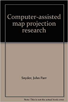
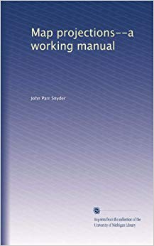
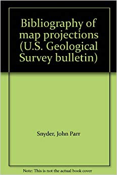
In addition, Snyder wrote seven books on map projections, including The Story of New Jersey’s Civil Boundaries, 1606-1968, Map Projections Used by the U.S. Geological Survey, Computer-Assisted Maps Projection Research, Space Oblique Mercator Projection—Mathematical Development, and Flattening the Earth: Two Thousand Years of Map Projections.
Snyder gained prominence in the field of cartography, designing a method of transforming satellite images of the earth into flat maps.
Snyder also developed a projection GS50, which uses a complex polynomial to project the 50 U.S. states with minimal distortion.
He wrote 7 books on maps projection.
In 1978, Snyder received the USGS’s John Wesley Powell Award.
(Presents biographical sketches of surveyors and cartograp...)
1973