Background
Ortelius was born on April 14, 1527 in the city of Antwerp, which was then in the Habsburg Netherlands (modern-day Belgium). The Orthellius family were originally from Augsburg, a Free imperial city of the Holy Roman Empire. In 1535, the family had fallen under suspicion of Protestantism. Following the death of Ortelius' father, his uncle Jacobus van Meteren returned from religious exile in England to take care of Ortelius. Abraham remained close to his cousin Emanuel van Meteren who would later move to London.
Education
He was trained as an engraver.
Career
He worked as an illuminator of maps, and by 1554 was in the business of selling maps and antiquities. This business involved extensive traveling, which enabled Ortelius to make contacts with the international community of scholars concerned with exploration and cartography and especially with English experts like Richard Hakluyt and John Dee. From these sources Ortelius obtained cartographical materials and information; he also collected and published maps by his fellow Flemish geographer Gerhardus Mercator.
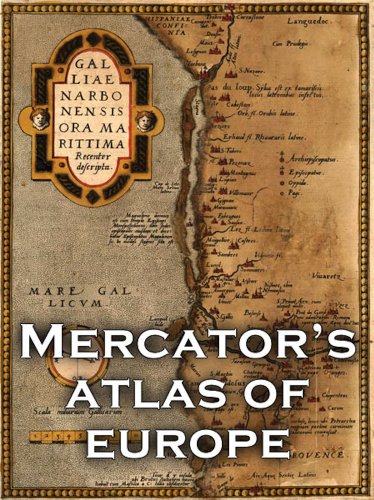
Ortelius began issuing various maps in the 1560s. Among these were maps of Egypt, Asia, and the world. The Theatrum orbis terrarum (1570) consisted of 70 maps on 53 sheets. There was a world map and maps of the continents of Africa and Asia. Europe, however, was the area most completely surveyed. In 1573 an Additamenta (atlas supplement) was issued. Later editions of both atlas and supplement were revised and expanded. By 1624 the Theatrum had run through 40 editions and had grown to 166 maps. It appeared in Latin and translations into Dutch, German, French, Spanish, and English.
The collection deserves to be called an atlas because of its uniform publishing format, critical selection from the existing mass of material, and scholarly citation of authorities whose maps were used (87 in all). Greatly diminished was the influence of Ptolemy's Geography, an ancient masterpiece revived for Europeans in the 15th century.
The Ptolemaic influence had itself marked an advance in academic cartography. Medieval geography had registered a profound cleavage between the geographical notions of the Schoolmen, highly abstract and shaped by theological constructs, and the practical activity of the Mediterranean chart makers, whose portolano charts gave an amazingly accurate record of coastlines visited and surveyed by mariners. The coordinates provided by Ptolemy, from which world maps were constructed, helped to undermine the medieval academic outlook and put scholarly cartography on a more scientific basis.
Nevertheless, by the late 16th century the acceleration of the flow of new geographical information produced by the Discoveries had rendered many of Ptolemy's observations obsolete. It was time once more for the printed map to catch up with the manuscript chart, a task facilitated by the work of Ortelius and Mercator. It is significant, however, that both Europe and Southeast Asia received the most accurate rendition from Ortelius, whereas the outlines of South America remained very inadequately portrayed—perhaps a reflection of the real weight of the Discoveries with respect to their lines of economic and geographical attraction.
Ortelius died at Antwerp on July 4, 1598.